Mapa Huncwotów
A campus-navigation backend supporting indoor location, routes to lectures, university-system integration, and locating other users.
Original project evidence
Explore the project.
01Indoor location+
The backend supports indoor university location.
02Lecture navigation+
The documented use case includes finding a route to the next lecture.
03University context+
University-system integration and other-user locations are listed features; no live student data is connected.
A map for campus life
Mapa Huncwotów was created at the 2018 Campus App Challenge in Warsaw. Its documented features include indoor university location, navigation to the next lecture, university-system integration, and locating other users.
What this repository contains
The linked repository is explicitly the backend portion of the application. It uses Python 3.6 and Flask. A newly drawn interactive campus map would not, by itself, be evidence of the original frontend.
Original project evidence
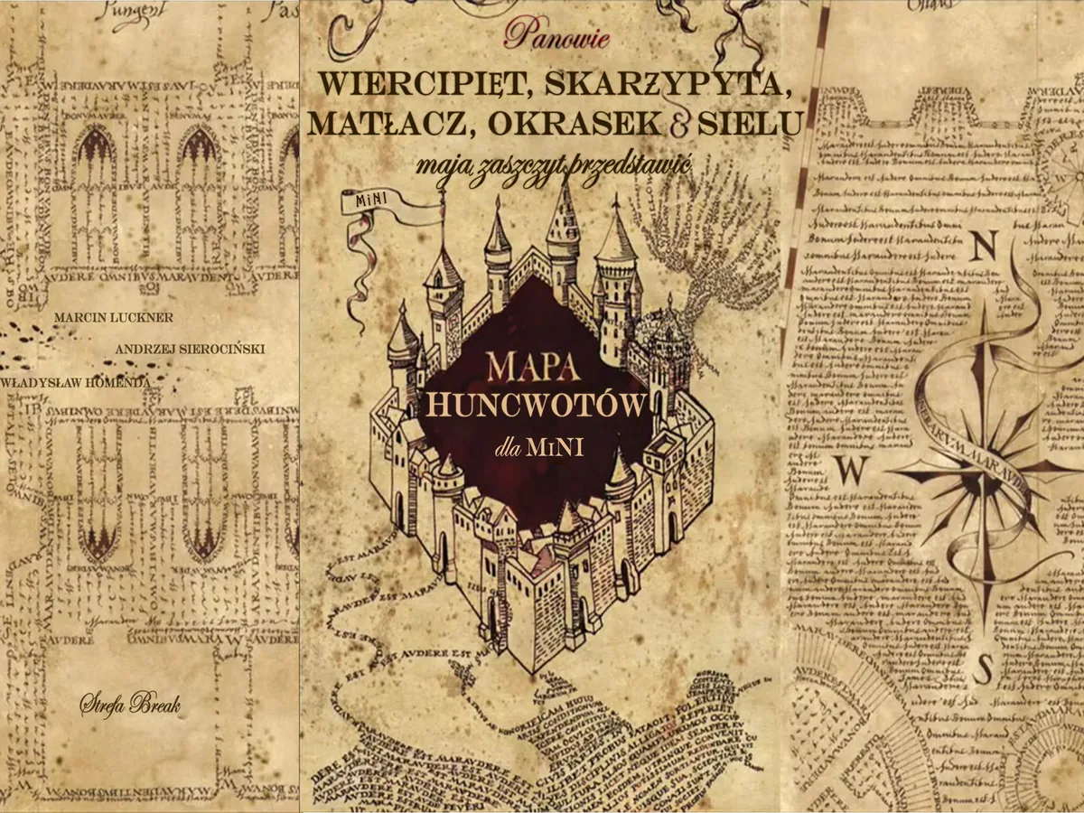
The project image reproduced here comes from the repository. It provides historical visual context; the accompanying walkthrough explains the backend's documented responsibilities. Neither the image nor the walkthrough represents a live campus-tracking service.
A future working demonstration should use a fictional floor plan and synthetic locations, with no connection to student accounts or real people's whereabouts.
Recognition
- 1st runner up in Campus App Challenge — DaftCode, Indoorway, Jan 2018